ALTA/NSPS Surveys in Florida
Accurate Florida land surveying tailored to your needs. At Atlantic Coast Surveying, we specialize in ALTA/NSPS surveys using advanced technology and decades of expertise to provide precise results for every project.
Precision You Can Trust in ALTA/NSPS Surveys
When you need accurate ALTA/NSPS surveys in Florida, Atlantic Coast Surveying delivers unmatched reliability. Our experienced Florida land surveyors provide precise property transaction surveys tailored to your needs. With over 35 years of expertise and state-of-the-art technology, we ensure clear, detailed, and timely results to support your real estate and development projects. Trust us for the accurate data required to make informed decisions every step of the way.
Understanding Your Challenges
Property transactions can be complex without clear details about boundaries, easements, or encroachments. These uncertainties can lead to disputes, costly delays, or even legal issues. We understand that resolving these challenges is critical, which is why our property boundary surveys eliminate the guesswork, bringing transparency and accuracy to every transaction.
ALTA/NSPS Surveys - The Solution
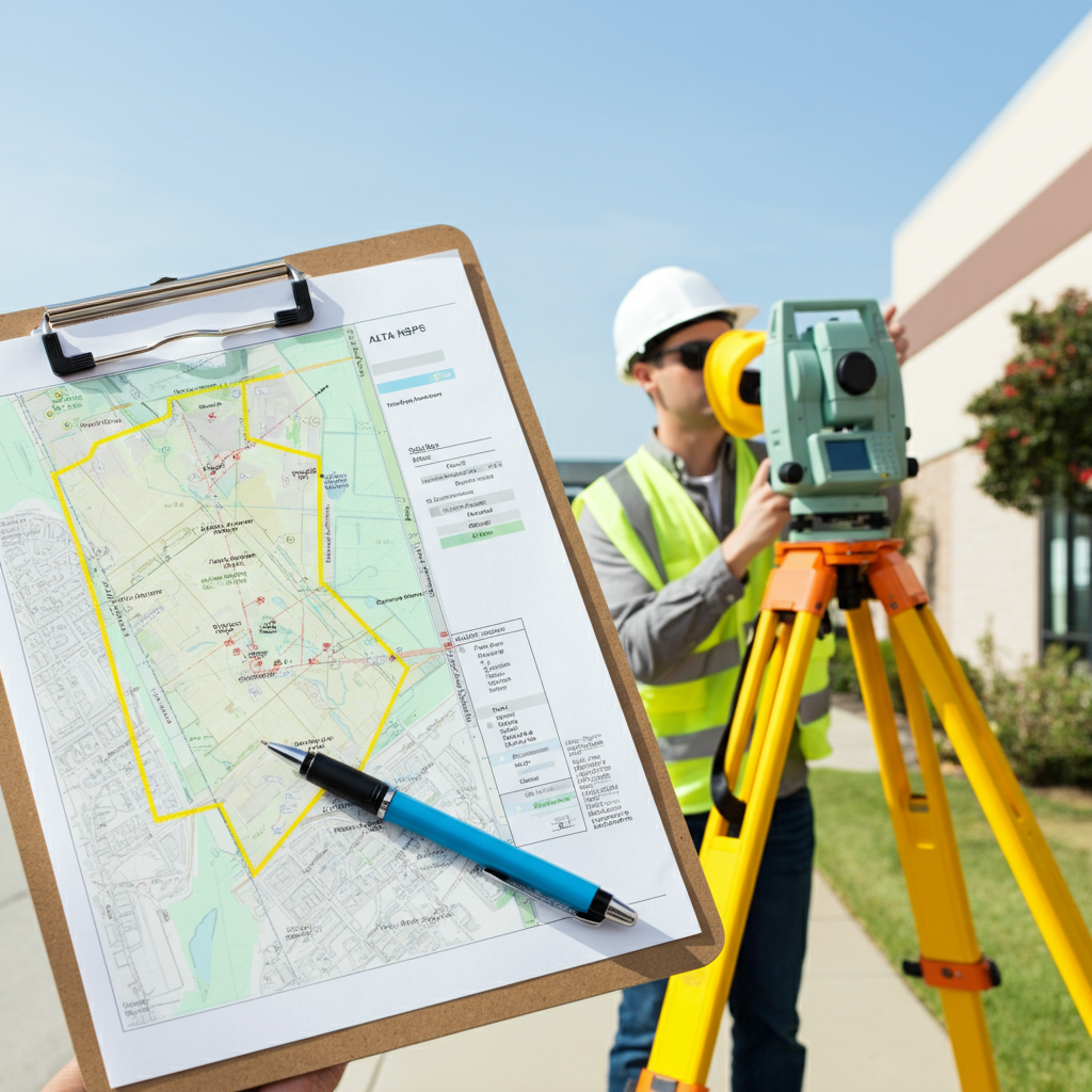
An ALTA/NSPS Land Survey provides essential insights into a property’s boundaries, legal features, and encroachments. Ideal for lenders, title companies, and legal professionals, these surveys adhere to the exacting standards set by the American Land Title Association and the National Society of Professional Surveyors. Whether you're buying, selling, or refinancing, Atlantic Coast Surveying ensures you have the comprehensive data needed to move forward with confidence.
Key Features and Benefits
- Comprehensive Surveys: Detailed analysis of property boundaries, easements, and encroachments.
- Guaranteed Accuracy: All surveys follow ALTA/NSPS standards, ensuring reliable results.
- Real Estate Expertise: Perfect for developers, homeowners, lenders, and attorneys.
- Smooth Transactions: Minimize risks and avoid delays in real estate deals.
- State-of-the-Art Technology: Using the latest tools to produce precision-driven results.
Precision in Every Measure
Who Benefits from ALTA/NSPS Surveys?
Discover how our ALTA/NSPS Surveys provide essential insights and reliable solutions tailored to meet the diverse needs of professionals across multiple industries.
Real Estate Professionals
Simplify property deals with verified data and compliant documentation.
Property Buyers and Sellers
Understand the full scope of your land before finalizing transactions.
Lenders and Title Companies
Ensure precise boundary details for secure funding approvals.
Attorneys
Rely on clear, detailed surveys to support property-related legal cases.
Developers and Builders
Plan and execute projects effectively with precise land insights.
Government Agencies
Maintain accuracy in public projects with dependable boundary data.
Insurance Companies
Evaluate land conditions accurately for informed coverage decisions.
Environmental Consultants
Ensure compliance with zoning rules through verified land surveys.
Precision in Every Step
ALTA/NSPS Surveying Process
At Atlantic Coast Surveying, precision and transparency define our approach to ALTA/NSPS Surveys. Here’s an in-depth look at our streamlined process, designed to deliver accurate results for your property documentation needs.
Initial Consultation
We begin with a detailed consultation to understand your project requirements, whether for real estate, lending, or development purposes. This step allows us to customize our survey services to match your objectives precisely.
Site Assessment
Our experts perform a thorough site evaluation to identify property boundaries and gather essential preliminary data. This step ensures we establish a clear understanding of the area.
Data Collection
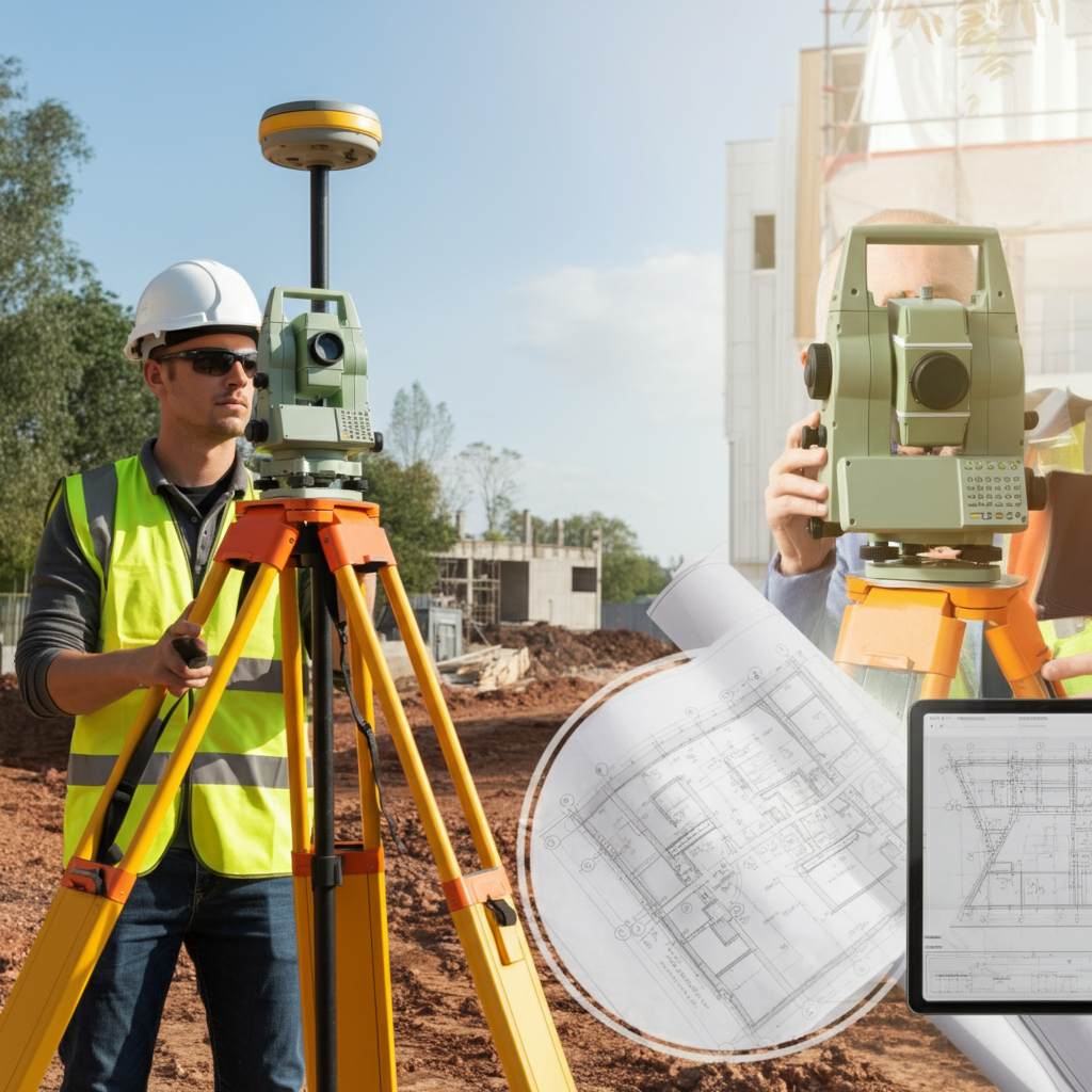
Using cutting-edge technology, including GPS and advanced measuring tools, we collect highly accurate data about the land. From property points to structures, every detail is meticulously documented.
Analysis and Reporting
Once data collection is complete, we review and analyze the information to create comprehensive reports. These reports meet the strict standards required for ALTA/NSPS compliance, offering clarity for property transactions and decision-making.
Frequently Asked Questions
Everything You Need to Know About ALTA/NSPS Surveys
Get clear answers to common questions about ALTA/NSPS Land Surveys. Learn how these surveys work, why they’re essential, and how they benefit property transactions and projects.
What is an ALTA/NSPS Land Survey?
An ALTA/NSPS Land Survey is a detailed survey that adheres to strict standards set by the American Land Title Association (ALTA) and the National Society of Professional Surveyors (NSPS). It provides comprehensive property information, including boundary locations, easements, and encroachments, ensuring clarity for real estate transactions.
Why do I need an ALTA/NSPS survey?
These surveys are often required by lenders, title companies, or attorneys to ensure accuracy in property transactions. They identify boundary lines, rights-of-way, and other critical property details, which help mitigate disputes and protect your investment.
Who typically requests an ALTA/NSPS survey?
ALTA/NSPS surveys are commonly requested by real estate professionals, property buyers and sellers, title companies, lenders, attorneys, and developers. They are essential for verifying property details during significant transactions or developments.
How long does it take to complete an ALTA/NSPS survey?
The timeline can vary depending on a property’s size, location, and complexity, but most surveys are completed within one to three weeks. We’ll provide a clear timeline during the initial consultation.
What information is included in an ALTA/NSPS survey?
An ALTA/NSPS survey includes property boundaries, easements, encroachments, improvements, zoning information, flood zone classification, and other pertinent details required for property documentation and compliance.
How much does an ALTA/NSPS survey cost?
Get QuoteThe cost depends on factors like property size, location, and specific survey requirements. Contact us for a customized quote based on your needs.
Can an ALTA/NSPS survey help resolve boundary disputes?
Yes, our surveys provide precise, legally recognized information about property boundaries, which can be crucial in resolving disputes. They are prepared in compliance with legal and professional standards and can hold up in court if needed.
What technology do you use for ALTA/NSPS surveys?
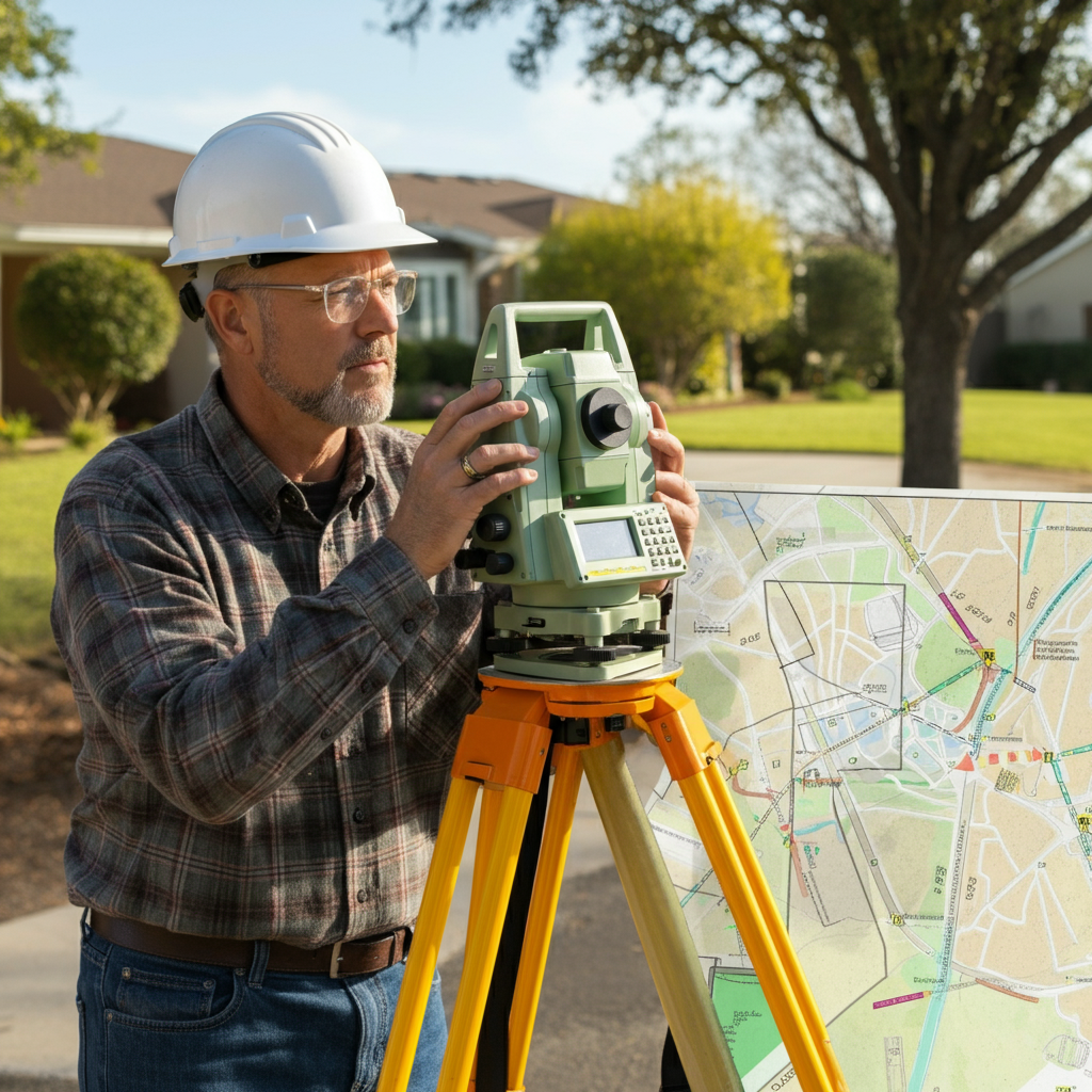
We use advanced surveying tools like GPS technology, robotic total stations, and high-precision measuring devices. These ensure the accuracy and reliability of our data.
Are ALTA/NSPS surveys required for all property transactions?
No, not all transactions require an ALTA/NSPS survey, but many lenders, title companies, and attorneys request or recommend them for ensuring comprehensive property documentation and compliance.
How do I request an ALTA/NSPS survey with Atlantic Coast Surveying?
Get QuoteYou can easily request a survey by contacting us online or phone. During our initial consultation, we’ll discuss your project in detail and provide a tailored proposal for your needs.
Your Trusted Surveying Partner
Why Work with Atlantic Coast Surveying?
When you choose Atlantic Coast Surveying, you’re partnering with a team committed to delivering excellence. Here’s what sets us apart:
Licensed and Insured Professionals
Our skilled surveyors bring unmatched expertise and meticulous attention to detail, ensuring every project is completed to the highest standards.
Advanced Technology for Superior Accuracy
Leveraging state-of-the-art tools like GPS systems and 3D scanning, we provide precise and efficient surveying solutions tailored to your project's needs.
Customer-First Approach
Your satisfaction is our priority. From the initial consultation to project delivery, we provide clear communication and real-time updates, ensuring you’re informed every step of the way.
Seamless and Transparent Service
Enjoy a stress-free experience with transparent pricing, personalized timelines, and the ability to review draft surveys before final delivery. We’re here to make your project a success.
